
Photogrammetry
What is it?
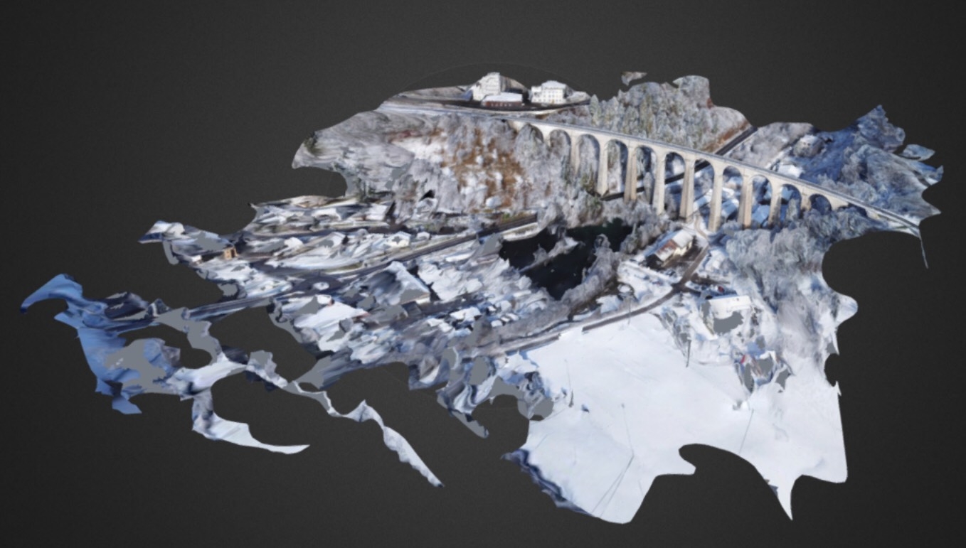
Photogrammetry is the capturing of a series of images in high definition making it possible to obtain land and building data. It is therefore possible to get the elevation of the ground, plant health, the number of plants, and much more! And one’s capability to move around on the field with a 3D model. It is even possible to inspect buildings or structures that are hard to reach.
Who is it for?
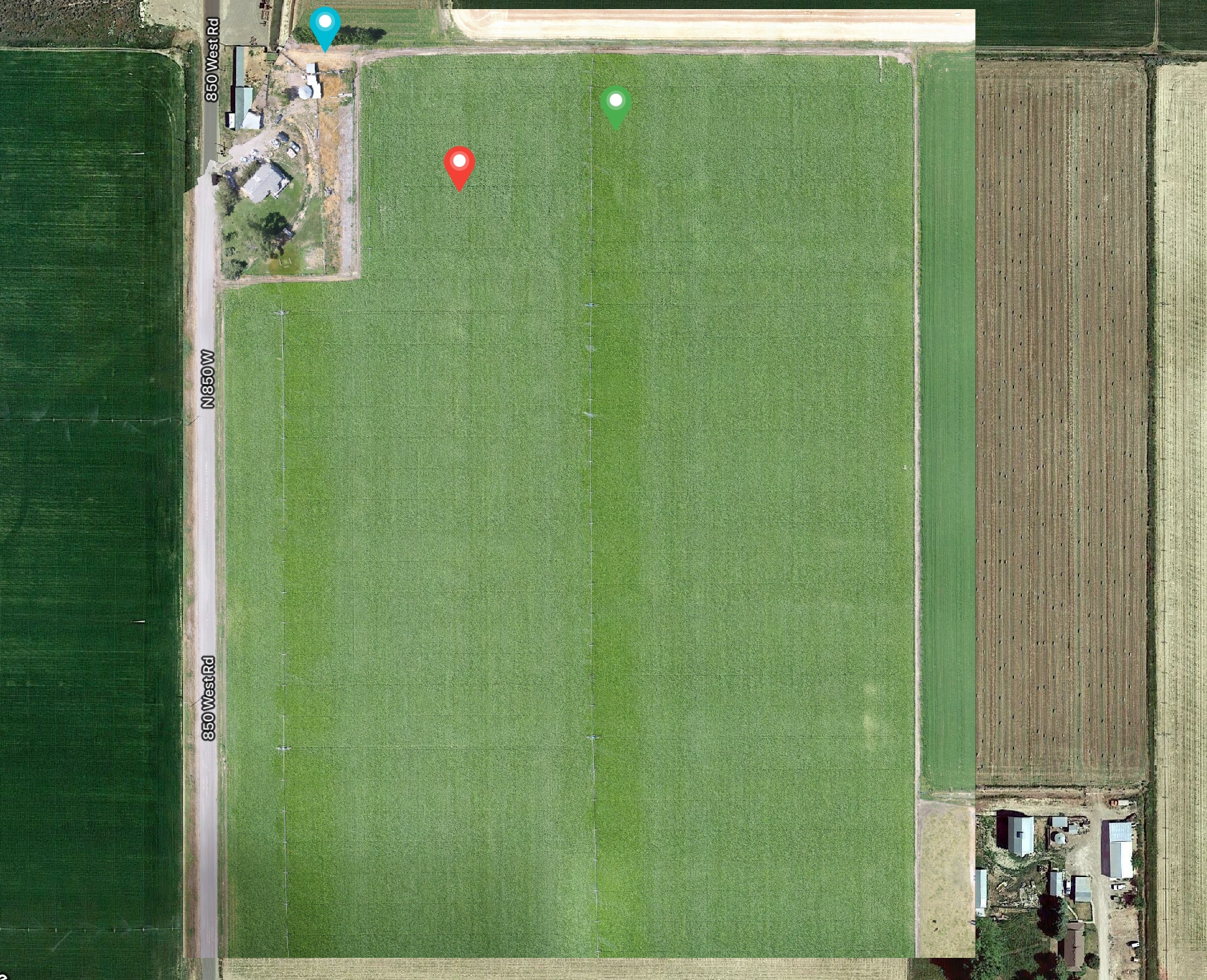
Photogrammetry is mainly intended for farmers or anyone who needs precise data from a site. It is very helpful for building inspections and provides data in minutes that would take days to collect at a very high cost.(First picture shows plant health. Second shows elevation of same field.)


How does it work?
Data collection is carried out using a specialized drone that takes a series of photos when it flies over the requested area. Different image qualities are available depending on customer needs.
How much does it cost?
Because each contract is different, it is difficult to establish an accurate price. Various factors such as air class, building and lot size, accessibility and customer needs must be taken into account, which is why an estimate is necessary to obtain a fair quote.
**A deposit of $200 is required at the time of the appointment. The balance is payable at the time of delivery. In the event of cancellation with more than 24 hours notice, the deposit will be refunded.


